News
AI Drone Detects Underwater Unexploded Ordnance With 100 Percent Accuracy
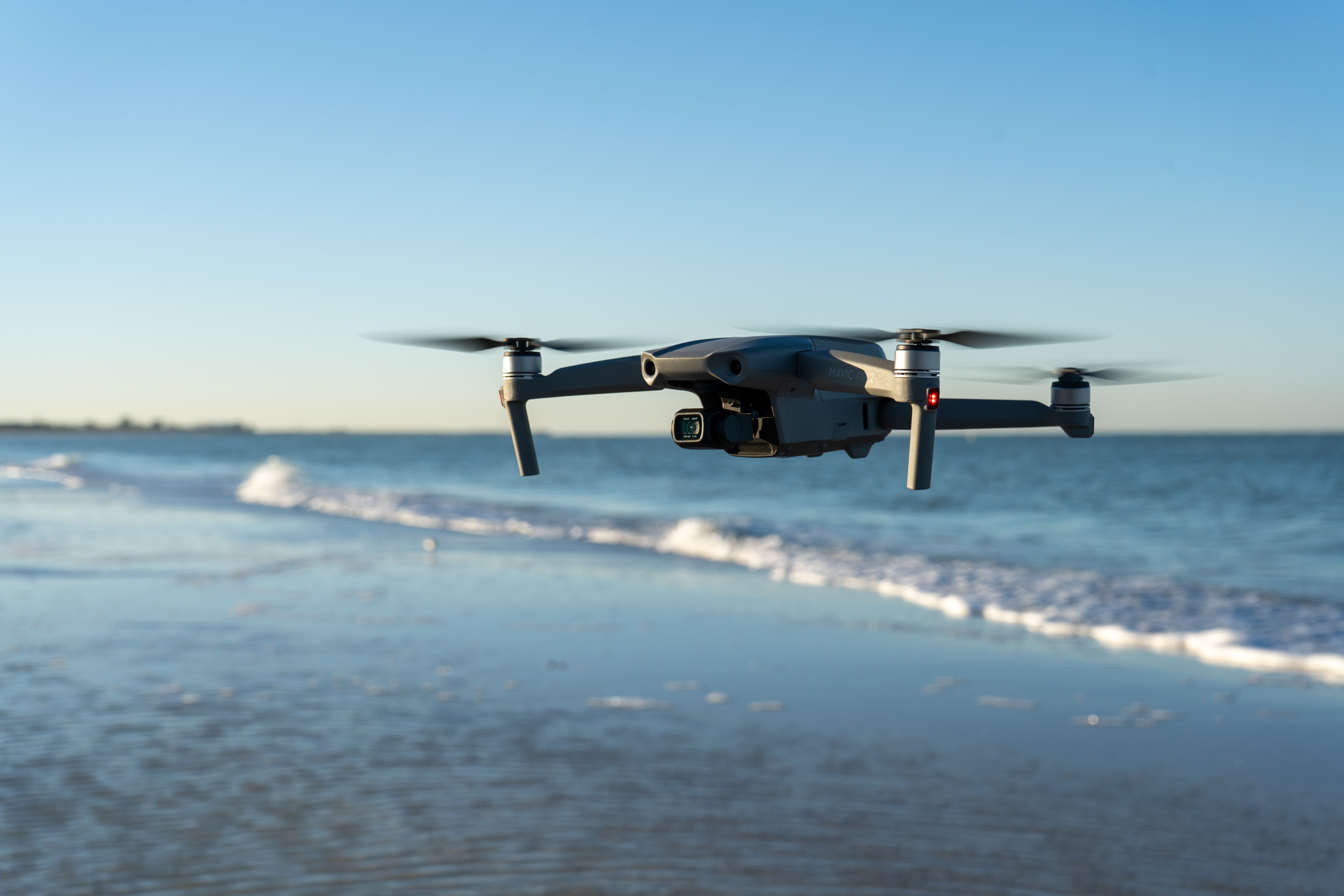
Researchers combined NASA's Fluid Lensing technology with the MiDAR multispectral system and a YOLO-based AI model to spot unexploded ordnance lying just beneath the water's surface from the air. The system detected all 14 test targets even after two months of sediment buildup, a finding with implications for the Baltic Sea, littered with ordnance from both world wars.
The research team from the University of Miami developed a system that detects unexploded ordnance lying on the bottom of shallow, clear waters before minesweeping divers even go into action. Combining NASA's imaging technology with an artificial intelligence model achieved 100 percent detection accuracy on test targets sunk off the coast of Florida.
At the heart of the system is Fluid Lensing, an algorithm developed by NASA that removes, in real time, the distortions caused by waves on the water's surface. This allows drones equipped with the technology to capture images of the seafloor at sub-centimeter resolution at depths of up to 20 meters, despite the refraction of waves on the surface.
How Detection Works
The second piece of the puzzle is MiDAR, an active multispectral imaging system that illuminates the seafloor with multiple bands of light, with particular emphasis on blue and green, which penetrate water best. The data collected this way is fed into an AI model based on the YOLO architecture, a modified version of NASA's NeMO-Net neural network, which analyzes material properties and light reflection patterns to distinguish ordnance from natural objects on the seabed.
The tests were conducted under conditions close to reality. The ordnance replicas were not photographed immediately after being submerged, but were left on the seafloor near the Broad Key research station for about two months, allowing them to become covered with natural sediment and marine organisms, just as happens with real unexploded ordnance that has lain on the seabed for decades.
Results and Limitations
The system identified all 14 deployed targets despite reduced visibility caused by biological fouling. Precision scores reached 0.8 to 0.9, and the F1 score, which combines precision with detection sensitivity, ranged from 0.83 to 0.89. The AI model was trained on 2,700 artificially augmented image samples generated from just nine original test targets, showing that the system performs well even with a limited amount of training data.
The technology does, however, have a clear limit to its application. It works only in shallow, optically accessible waters, where light reaches the bottom. Objects buried deeper in the sediment still require traditional methods, such as acoustic or magnetic sounding, so the new system complements existing minesweeping tools rather than replacing them.
Implications for the Baltic
Although the tests were carried out in Florida, the researchers explicitly point to the technology's application in bodies of water such as the Baltic Sea, where enormous quantities of conventional and chemical ordnance remain from both world wars. It is estimated that hundreds of thousands of tons of unexploded ordnance rest on the Baltic seabed, gradually corroding and posing a threat to shipping and fishing as well as to the marine environment.
For Baltic countries, including Poland, cheaper and faster methods of locating unexploded ordnance from the air could significantly speed up the planning of minesweeping work for the construction of offshore infrastructure, such as wind farms or undersea power cables, where today every meter of seabed must be individually checked using more expensive acoustic methods and diver labor.
The team led by Ved Chirayath emphasizes that drone flights over water are considerably cheaper and faster than traditional underwater surveys carried out by divers or remotely operated vehicles, making this method an attractive first screening step before actual minesweeping. The system does not replace bomb disposal experts, then, but allows them to focus their efforts where the probability of encountering a real threat is highest.